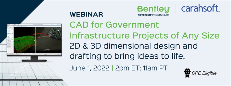
Thank you for your interest in our Bentley MicroStation webinar, CAD for Government Infrastructure Projects of Any Size.
.png) |
Access the on-demand recording to discover how MicroStation can help you deliver a single source of project truth that integrates 2D and 3D drawings, reality meshes, point clouds, and precise geospatial data that can be leveraged across applications and activities.
|
Check out these additional resources!
.png) |
Explore this eBook to learn how adopting reality modeling can improve margins of accuracy in gathering spatial data by offering users engineering-ready reality meshes, digital surface models, and point clouds faster than before. |
.png) |
Find out how MicroStation improves civil engineering design workflows by enabling every user to create better designs and better integrated project teams. |
 |
Discover how some leading civil engineering organizations relied on MicroStation, a professional-grade CAD, to quickly and reliably design their infrastructure projects. |
If you have questions or would like to receive more information about this webinar or Bentley's solutions, please don't hesitate to contact us.