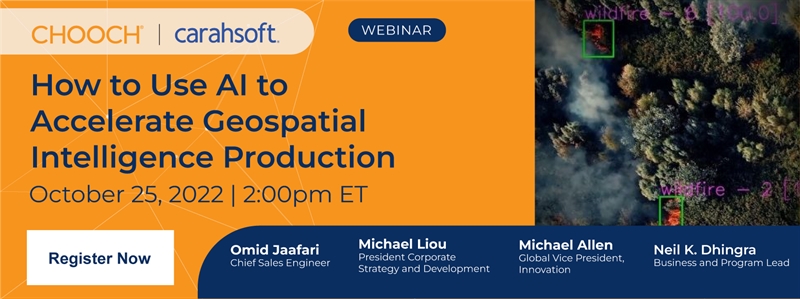
Defense satellite imagery production has increased exponentially, yet imagery analysis has not been able to keep up. Today, visual intelligence production often requires a range of complex tools and tedious workflows to produce usable information. With automatic object and condition detections, AI can condense workflows and return the initiative to the analyst.
Join us for this live webinar to learn how AI can:
.png) | Be used in novel ways to rapidly screen large amounts of images |
| Condense workflows and return the initiative to the analyst |
| Be used to detect conditions in complex geospatial imagery |
.png) | Register now to learn more about how AI can be used to accelerate geospatial intelligence production! |
Can't make it?
Sign-up to receive a copy of the recording after the event!